A New Location for Us
Our first foray into Tyler County was a bit hit or miss. As with many places in West Virginia, I had very little to go on while looking for off roading trails. Armed with county route maps and my Avenza app, we went off to see what adventure we could find.
Middle Island, St. Mary’s
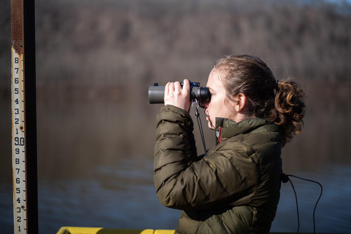
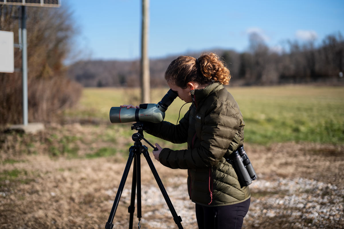
Before truly starting our exploration of Tyler, we stopped in St Mary’s to add a Peregrine Falcon to my life list and we were not disappointed. After seeing it briefly on the bridge crossing the Ohio River, we lost it and moved on to Middle Island to stretch our legs a bit. The birds were very active and we were able to see around 100 ducks and 6 Great Blue Heron. After being startled by something, perhaps the lost falcon, it was a wonderful sight to see them circle over head. As we were leaving, we could see the Peregrine back on the bridge and stopped to get the scope out to get a better look. It wasn’t in a hurry so I got some really good looks.
Speedway Diner
From St Mary’s, we traveled up Route 2 along the river which is a nice, relaxing drive. Because we were getting hungry, when we reached Paden City we made our way to Middlebourne. We were really in the mood for pizza so we wanted to try a local place, Bogg’s. This would be the first of many dead ends for the day. We arrived a couple days before they starting doing indoor dining, We’ll chalk this up to a global pandemic and the difficulty of finding accurate information for small town West Virginia online. We had passed in interesting looking place so we headed to Speedway Diner.
With the exception of a stock car on a pole as a sign, Speedway is exactly what you would expect. From a space age metal exterior, black and white tile interior, and vinyl booths, I felt as though I’d been here before. It’s place where you know what to expect and it’s neither great nor terrible. My omelette of edible, though nothing to write home about. I love trying local restaurants but this one seemed to lack anything special but did the job since our other option fell through.
Jug Wildlife Management Area
We had two specific locations we wanted to check out, Jug Wildlife Management Area (WMA) and Conaway Lake. Our first stop was The Jug. I don’t know if it is common but one thing I have found in West Virginia is that many WMAs are not easy to access with entrance being rather hidden. At the northern end, we could find an access point and we attempted to take CR 18/7 around to the southern end. The road looked like it might be a scenic route with possible off roading opportunities but we came to a gate that had a no trespassing sign. The gate was open but we didn’t want to risk it. This is something I’ll have to investigate further.
After looking at a map, we saw an old business, possibly a bar or general store, that we had passed and what looked like a road into the area. Behind the building was a beautiful area where the river passed and two creeks met. If you’re passing through, I definitely recommend stopping to relax here. The exciting thing that we found, however, was an old cement “bridge” going through the river, which is CR46/1. A sign, and my nerves, said not to cross when the water is over it. I believe it is doable but I have little experience with crossing moving water in this type of situation. Therefore, it’s been noted for drier days and looks to show a lot of promise. The road comes out on the other side of the WMA so we decided to try it from that end.
Conaway Lake Public Fishing Area
On our way around, we stopped at Conaway Lake to see if we could find any waterfowl. We only spotted a handful of birds but it was a pleasant stop and a slow day birding is still a nice way to spend the day. From the lake, we found the southern end CR 46/1. Yet again, we ran into a gate. After reviewing Google maps, the Jug looks to be smaller than on the county maps. This could mean that Google is incorrect or that the WMA has been shrunk with land being sold off. More investigation will need to be done to see if this gate should be there or if it’s been put up illegally.
Exploring More Roads
Despite hitting road blocks, there were still a couple routes that I wanted to check on. From the Jug, we went down into the southern triangle of Tyler County where it turned out more barriers awaited. CR 56/2 looked like it could hold promise and I wanted to start from the Ritchie county side so we would be heading in the direction of home, however, this required cutting across CR 74/11. After only a couple hundred feet, the impassable stand of tree we came to leads me to believe that it hasn’t been a road in many decades. On to the next.
Cutting east across CR 56/2, there was a left turn that was immediately blocked by a gate. This road shows that it connects with CR 18 after crossing Middle Island Creek. A quick drive around and up CR 18 shows that there used to be a bridge that is nor out of commission and marked as state property. Perhaps this route has been closed by the state for safety.
By this point, the sun was quickly setting and we had just enough time to check out a couple close roads before heading home. The first was CR 18/15. The road initially showed promise but we quickly came to a gate that was blocking off access to a well site. I assume the land has been leased for drilling. My hopes of finding much to work with were quickly dissipating. However, there was one last spot.
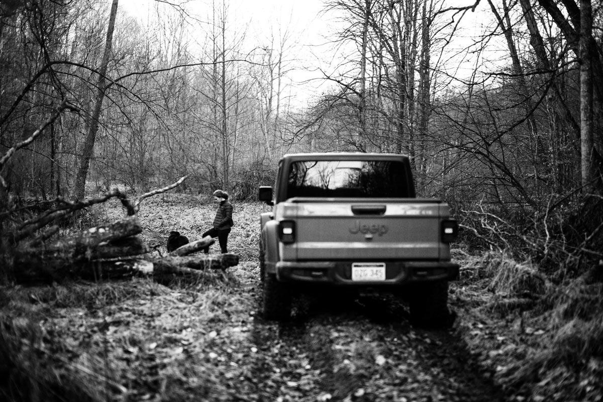
From 18, I wanted to take route 52 and explore route 54. On county maps it is marked as primitive. Little did I know that 52 would hold promise. As we drove farther, the route became very rough with lots of mud holes and at least two stream crossings. At a Y, the left path, which looks to not be marked on the county map immediately crossed a stream. The right path, seemed to be the official road so we continued in that direction. A short time after, we came to a water crossing. The descent seemed to be a little more than I was willing to try right at dark. There was a possibility that my Jeep would have no issues but I put it off for another day. A lifted 4×4 would have no issues. After a day of gates, unexpected disappearances of roads, and flooded bridges this seems to hold a lot of promise and is on the list for more exploration.
Gallery