At a Glance
- Official road names: CR 36/2
-
Distance: 4.7 miles
-
Difficulty ratings: 1
-
Nearest towns: Mannington
-
Nearby attractions: Curtisville Lake Park and Campground, Dents Run WMA
Downloads
Overview
Exploring Southwest Marion County
We haven’t explored a lot of Marion County for overland trails and we decided to start it off in the southwest corner. County Route 36/2 is in a rural, sparsely populated area. If you plan on being out for the day, bring some snacks and a full tank of gas. You aren’t very far from some populated areas but they take time to get to and don’t have a ton of options.
We chose to start on the southern end of the road and the trail begins as a mostly rocky path and quickly turns to dirt as you crest the first hill to the ridgeline. If you’ve read some of my other posts, you’ll know what I mean when I say this is a playground. At the ridgeline, there are multiple paths from which to choose. The county road goes straight up and over. However, we were easily distracted by all of the other options. We chose to go left because it seemed like it had the most potential for longer paths.

Accessible Trail
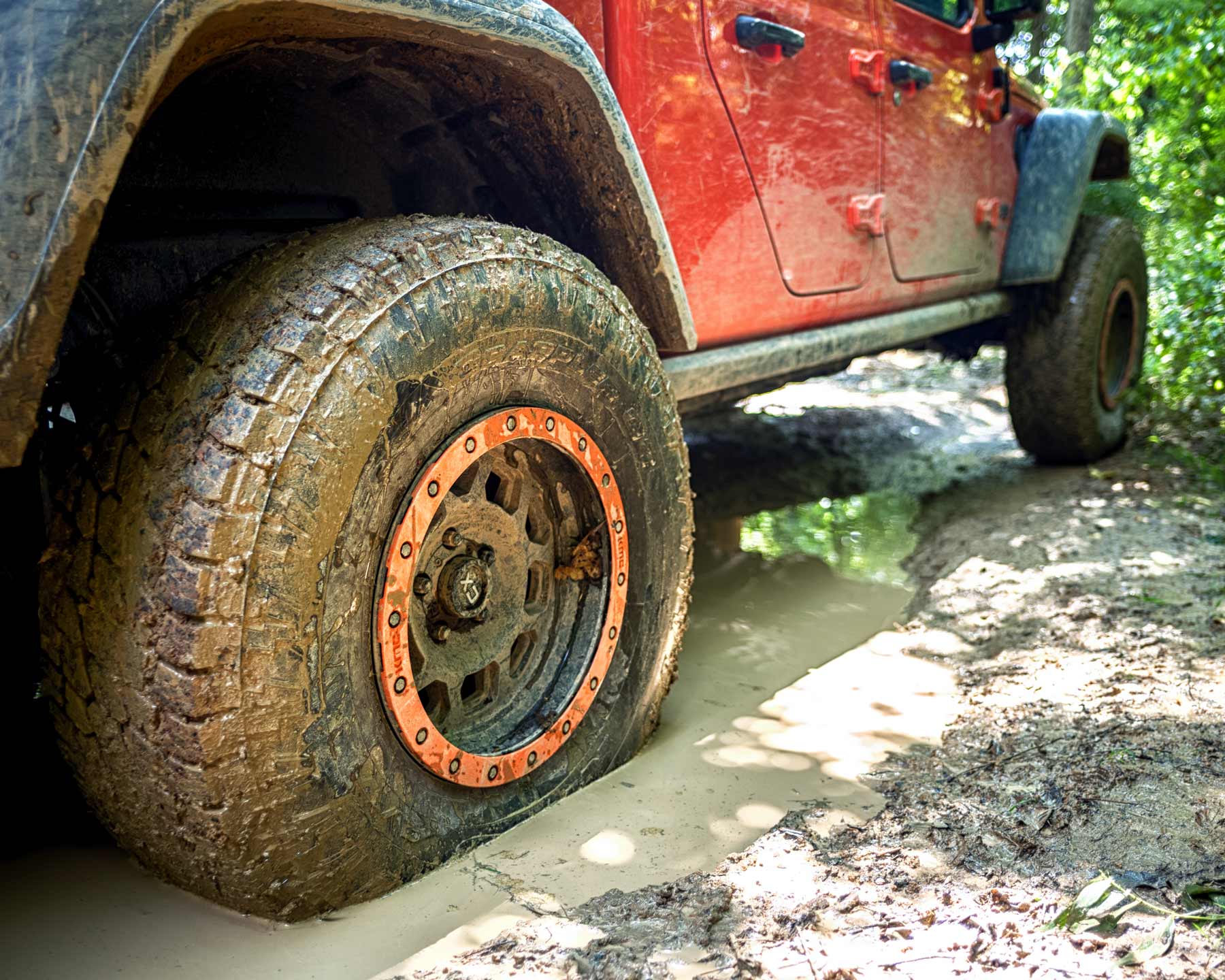
The trails are typical dirt paths winding through younger growth forest, as much of West Virginia was timbered we don’t have much in the way of old growth yet. The road is easily traversable in most vehicles. There are a few spots where 4WD can make the climb a little easier on loose terrain but nothing unmanageable, at least in dry conditions. If it’s raining, there might be trouble but it is likely still traversable.

Points of Interest
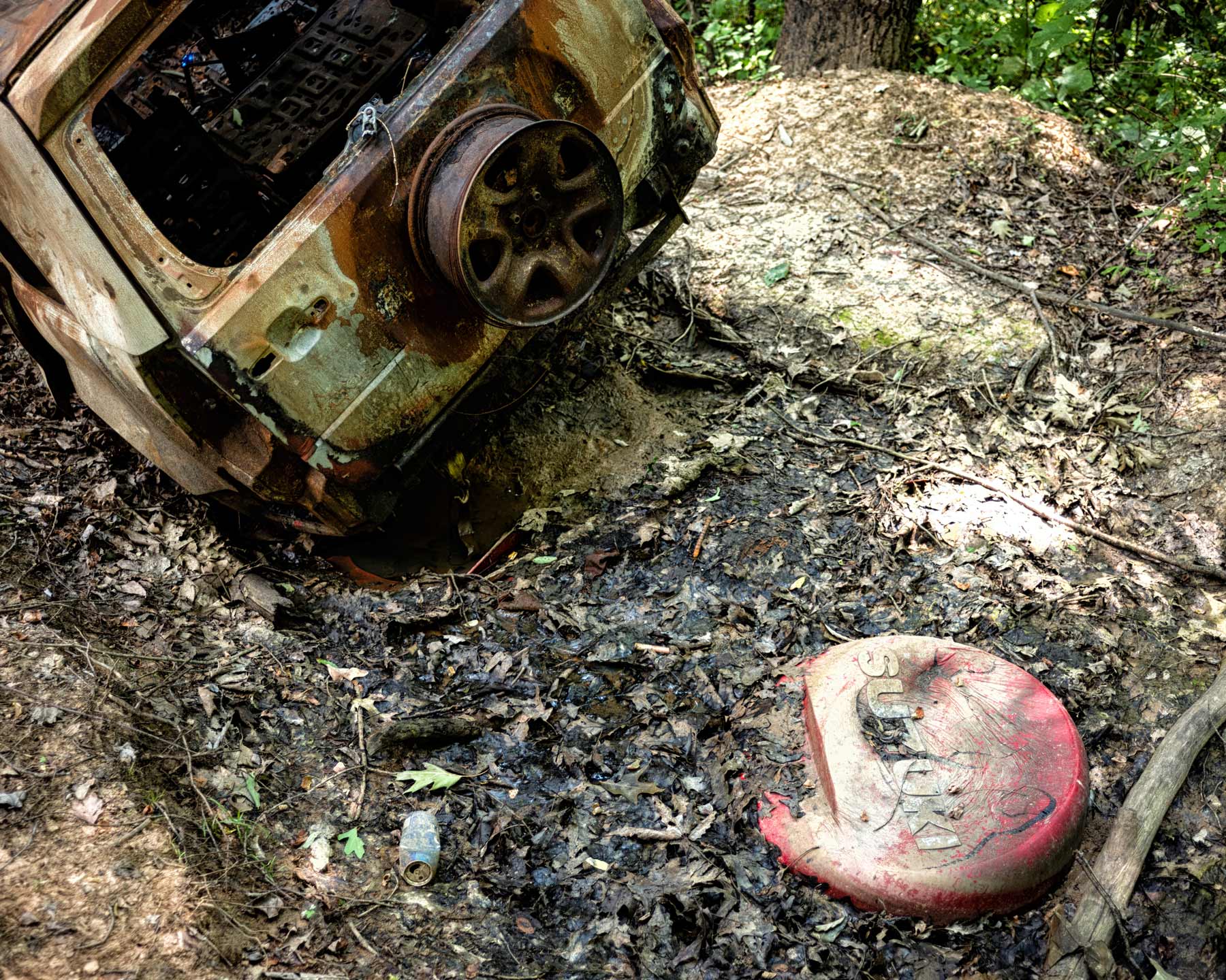
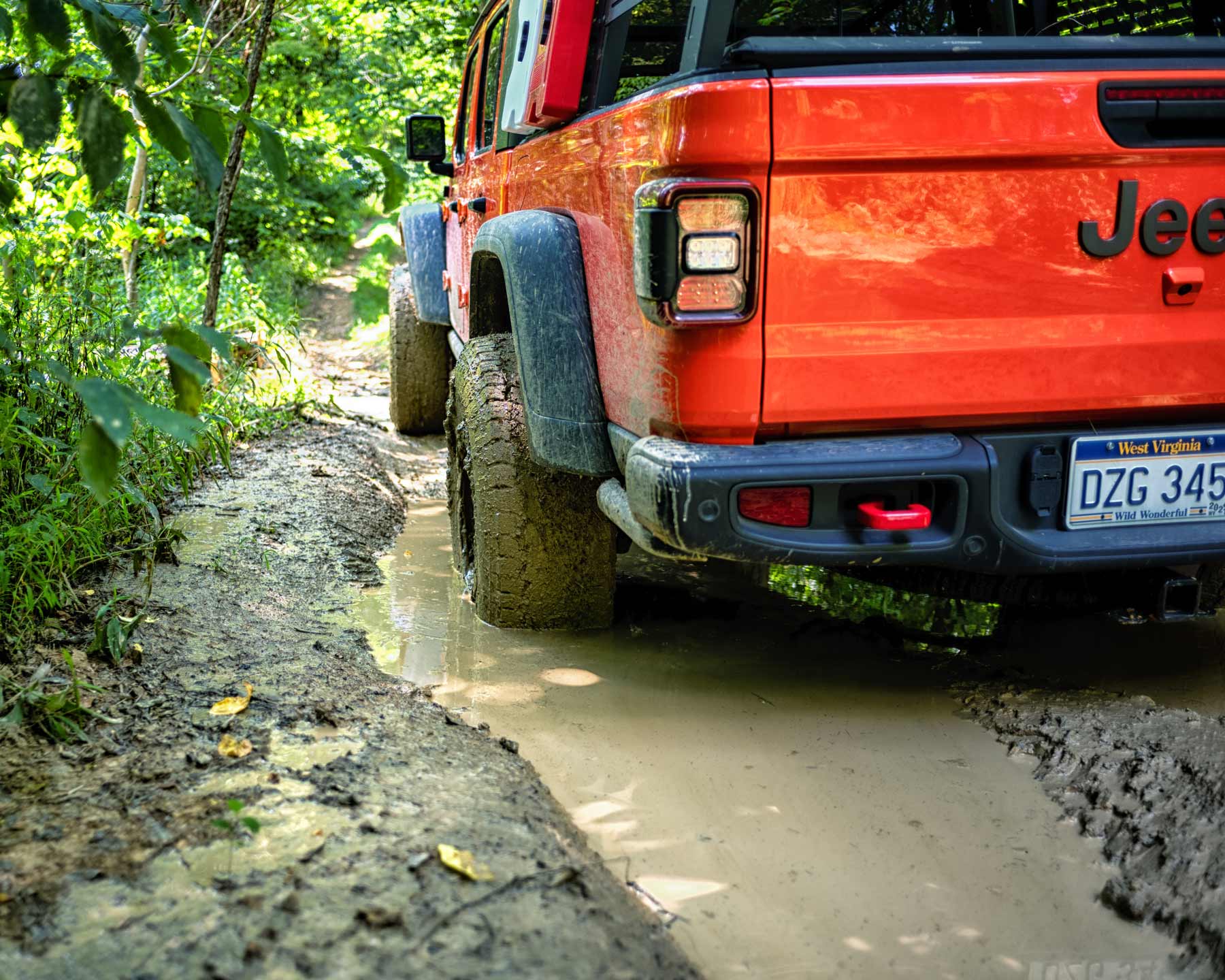
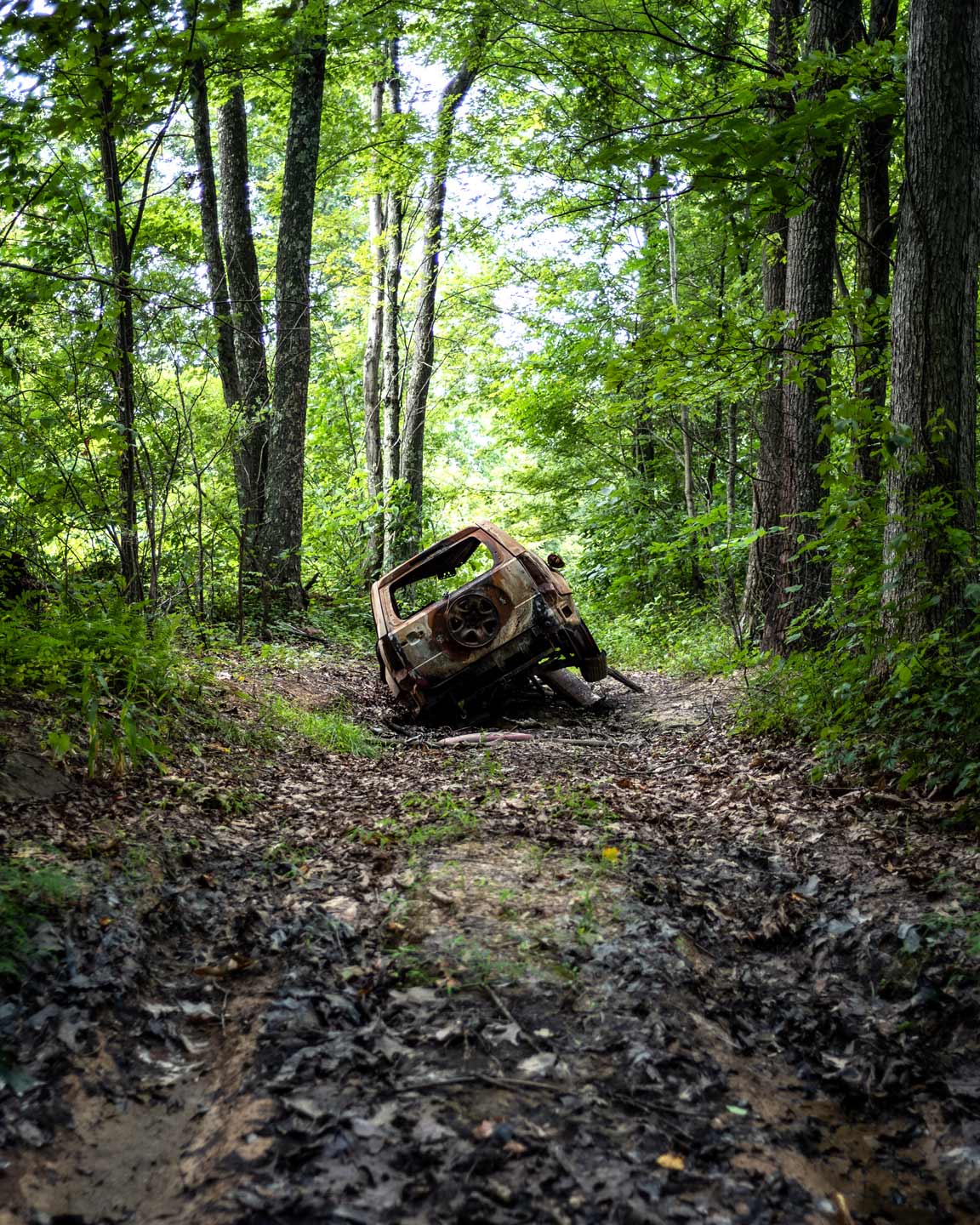
While much of the trail is very similar, there are a few points of interest. We encountered a couple of minor water crossings but nothing that would cause issues. We came across Huey Cemetery, which looked seldom visited but still had a newish sign so it seems someone still has an interest in it. I couldn’t locate any information on it as there seem to be numerous cemeteries in the area with Huey in the name. I’d like to go back and explore this spot a little more and see if there is anything I can get information on. You also have a few spots crossing power lines where the view opens up and you can see the surrounding area a bit more. We always take these opportunities to pull out the drone to explore. Towards the beginning of the trail, there is a mud pit that was slightly deeper than expected. I don’t have the biggest Gladiator in the world but with 37” tires and a 3” lift it isn’t small and the water was over my rear bumper. I didn’t need any recovery gear but it did take a bit of back and forth to get out.
To Be Continued
While we do have a GPU track, we only were able to explore a small portion of the trail. There is a lot of space to get out and we look forward to going back in the future.
Gallery